
25 Highest Roads in Colorado
View the 25 Highest Roads in Colorado
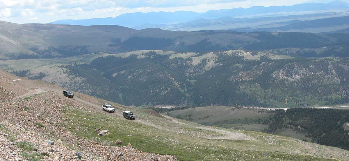
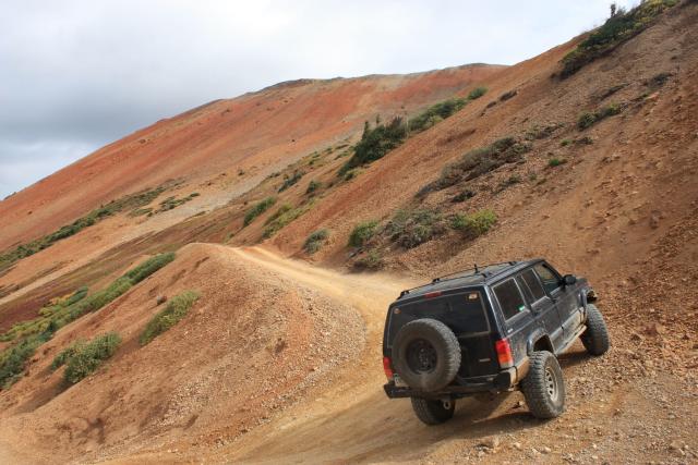
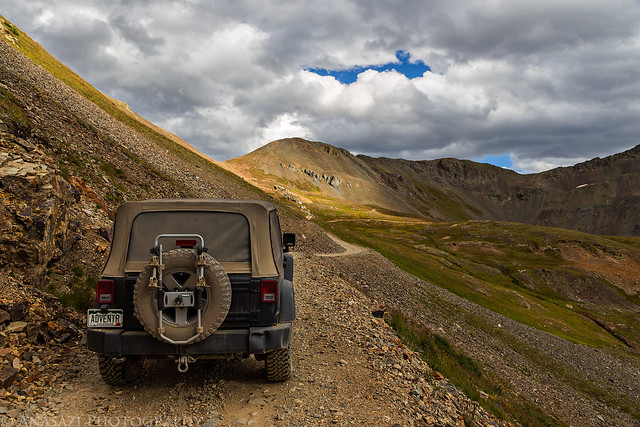
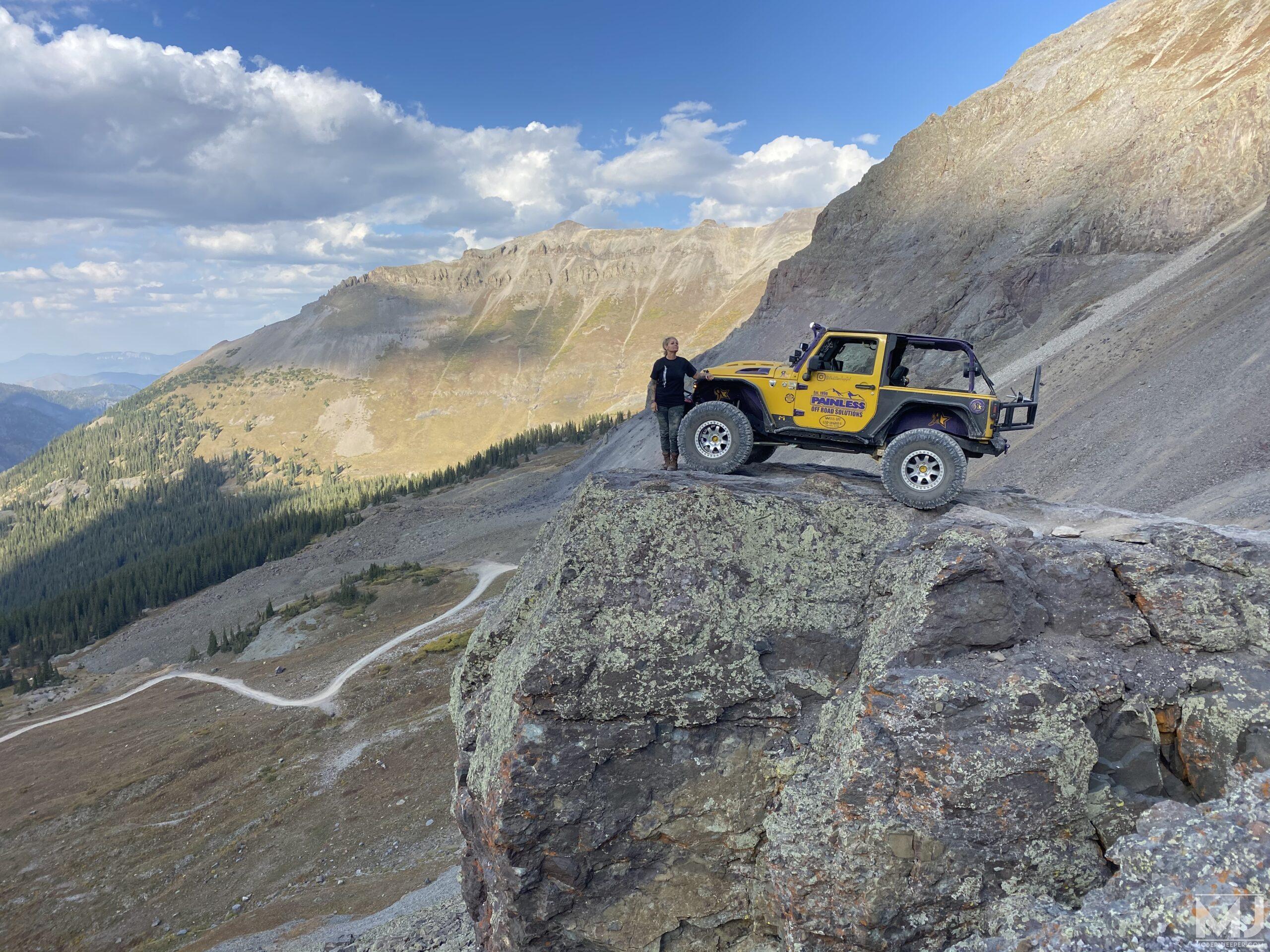
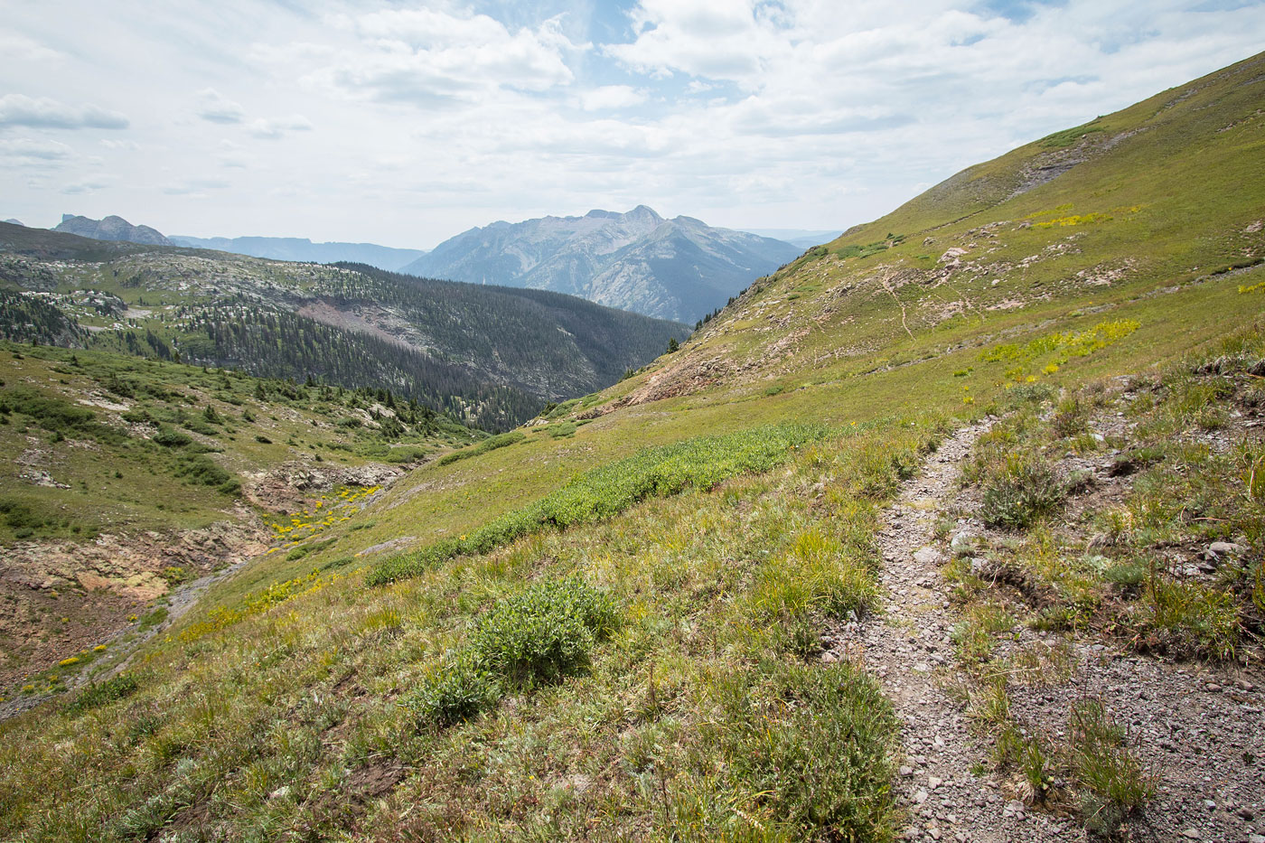
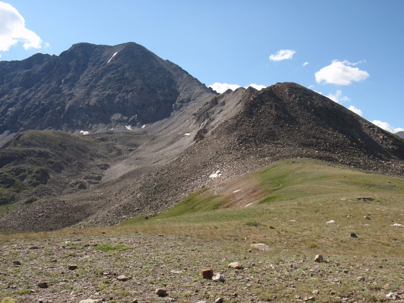
Colorado is home to the highest drivable roads in North America. Whether you’re seeking paved mountain highways with panoramic views or rugged 4×4 routes carved into the sides of peaks, these roads provide more than just altitude—they offer an unforgettable adventure.
This guide walks you through the 25 highest roads in Colorado, with driving tips, seasonal access info, and recommended experience levels for each. Whether you’re behind the wheel of a rental SUV or a seasoned off-roader’s dream rig, this is your roadmap to the sky.
How to Prepare for High-Altitude Road Trips
Before you go:
-
Vehicle Type: Know whether you’re driving a standard vehicle or need a 4WD high-clearance SUV. Many gravel roads are not suitable for sedans or low-clearance cars.
-
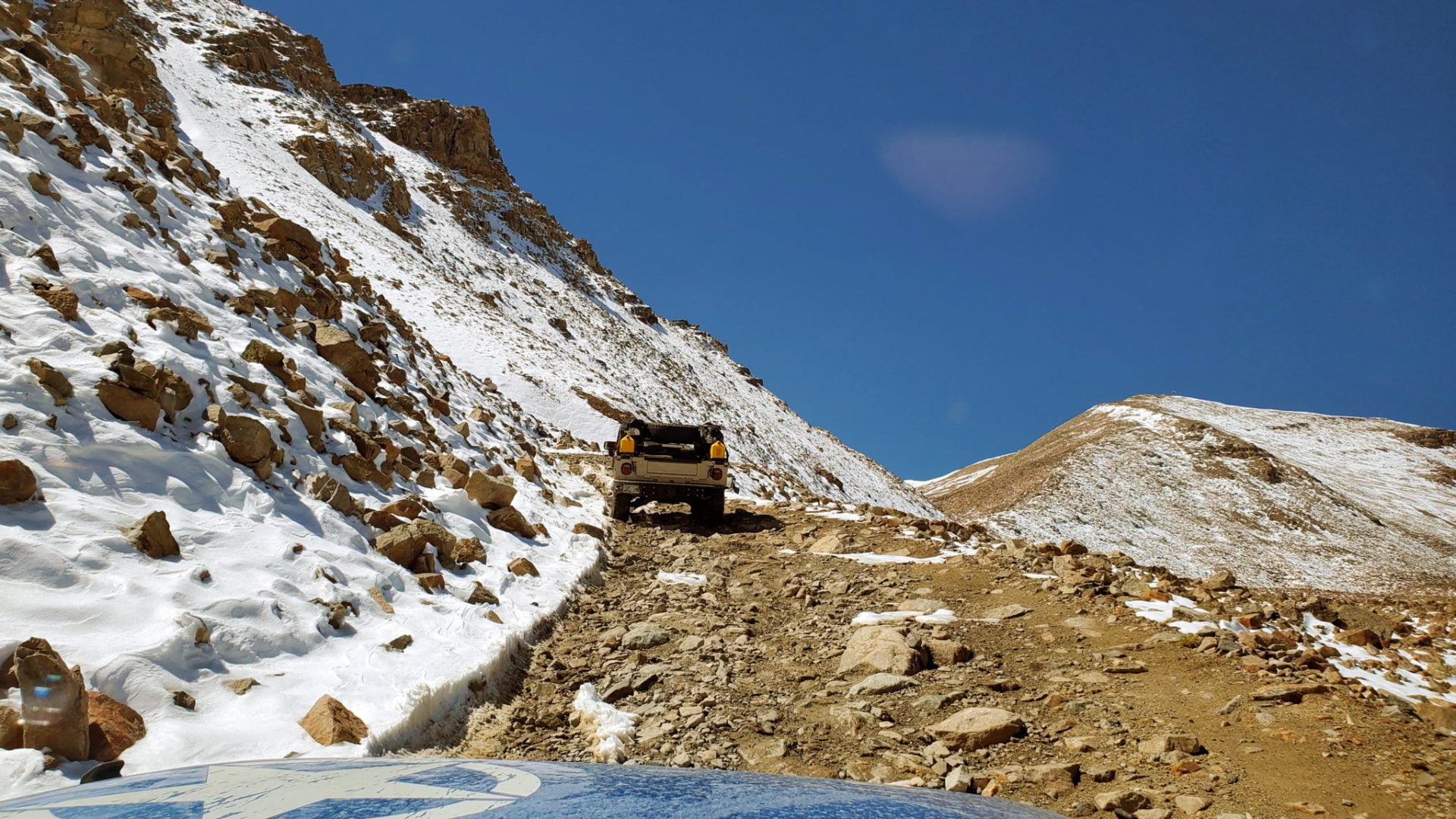
Time of Year: Most high roads are only open late May to early October. Always check conditions with CDOT or local ranger stations.
-
Weather: Alpine storms come fast. Bring layers, water, snacks, and emergency gear.
-
Altitude Caution: Take breaks, stay hydrated, and watch for signs of altitude sickness.
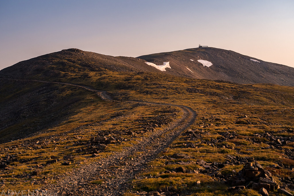
Explore the Rockies from the Top of the World
🏔️ 1. Mount Bross (14,178 ft) – Park County – Gravel
Highest road in the U.S. Only accessible in summer, Mount Bross takes you nearly to the summit of a 14er. The final 150 ft must be hiked.
Drive tips: Requires high-clearance 4WD. This is a steep, narrow climb with loose rock—recommended only for experienced drivers.
Best time to drive: July–September.
🛣️ 2. Mount Blue Sky Scenic Byway (14,130 ft) – Clear Creek County – Paved

The highest paved road in North America, formerly Mount Evans Road, is a 28-mile alpine wonderland open from late spring to early fall.
Drive tips: Any standard vehicle can handle it, but the road is narrow with no guardrails at points. Summit parking is limited.
Best time to drive: June–September (timed-entry reservations required).
🛣️ 3. Pikes Peak Highway (14,115 ft) – El Paso County – Paved

A must-drive for first-time Colorado tourists, this highway to “America’s Mountain” offers stunning views and thrilling switchbacks.
Drive tips: Any vehicle is fine, but use lower gears downhill to avoid brake overheating.
Best time to drive: May–October; open year-round depending on snow.
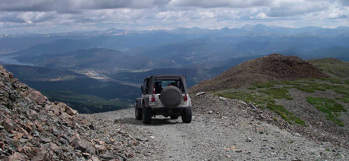
🛻 4. Mount Lincoln Road (13,854 ft) – Park County – Gravel

A steep and scenic road from Hoosier Pass leads to this peak, named for Abraham Lincoln.
Drive tips: Accessible only by 4WD with clearance. Very rocky; hike required for summit.
Best time to drive: July–September.
🛻 5. Mount Antero (13,743 ft) – Chaffee County – Gravel

A famous route for rockhounds and adventure drivers, this climb offers views of the Sawatch Range and San Isabel National Forest.
Drive tips: Rough, narrow in places, and busy in summer. Expect oncoming traffic.
Best time to drive: Late June–early September.
🛻 6. Kuss Peak (13,569 ft) – Lake County – Gravel
A less-trafficked mining road gives way to broad views over the Mosquito Range.
Drive tips: High-clearance 4×4 required. Quiet and remote.
Best time to drive: Late June–September.
🛻 7. Mosquito Peak (13,540 ft) – Lake County – Gravel
A rugged trail leads to this 13er near Leadville. You’ll hike the final mile for views of alpine lakes and jagged ridgelines.
Drive tips: Trail becomes sketchy above 12,000 ft.
Best time to drive: Mid-July through early September.
🛻 8. Peak 10 (13,392 ft) – Summit County – Gravel
Located in Breckenridge Ski Area, this forest road offers incredible Tenmile Range views.
Drive tips: Suitable for skilled 4×4 drivers. Narrow, remote.
Best time to drive: Summer only—mid-June through early September.
🛻 9. Boulder Mountain (13,238 ft) – Chaffee County – Gravel

A winding route to a ghost mine, with commanding views of Mt. Antero.
Drive tips: Extremely narrow and exposed—no passing areas.
Best time to drive: July–August.
🛻 10. Hurricane Pass (13,238 ft) – San Juan County – Gravel
Between Silverton and Ouray, this wildflower-lined route offers high-alpine beauty.
Drive tips: Moderate difficulty; 4WD recommended.
Best time to drive: Late June–September.
🛻 11. Sunnyside Saddle (13,221 ft) – San Juan County – Gravel
High-clearance vehicles required for this tight, twisting climb to sweeping views of the Red Mountains.
Drive tips: Dangerous in wet conditions. Use extreme caution.
Best time to drive: Midsummer.
🛻 12. Bennett Peak (13,209 ft) – Rio Grande County – Gravel

Remote, dome-shaped summit above bird-rich meadows and old forests.
Drive tips: Easier drive than others, but still remote.
Best time to drive: July–August.
🛻 13. Mosquito Pass (13,208 ft) – Lake County – Gravel

Called the “highway of frozen death,” this iconic route from Fairplay to Leadville is not for beginners.
Drive tips: Streams, snowfields, rocks, and ravines—prepare accordingly.
Best time to drive: August only, due to snow.
🛻 14. Argentine Pass (13,207 ft) – Summit County – Gravel

Colorado’s highest named pass, with wildflowers, ghost camps, and epic ridgeline views.
Drive tips: Rocky, with light water crossings. Good for seasoned off-roaders.
Best time to drive: Late June–August.
🛻 15. Mount Sheridan (13,192 ft) – Park County – Gravel

A hidden gem with ruins from Colorado’s mining era.
Drive tips: Strong wind exposure; 4WD required.
Best time to drive: Summer only.
🛻 16. Bartlett Mountain (13,175 ft) – Chaffee County – Gravel

An historic route with steep, winding switchbacks to alpine meadows.
Drive tips: Slow, deliberate driving required.
Best time to drive: Late July.
🛻 17. Quail Mountain (13,167 ft) – Chaffee County – Gravel

Tucked above Clear Creek Reservoir, this route is narrow and technical.
Drive tips: First half is easy; becomes tough above tree line.
Best time to drive: July–September.
🛻 18. Santa Fe Peak (13,149 ft) – Summit County – Gravel

Steep, switchback-laced route near Montezuma with commanding views of Geneva Basin.
Drive tips: High-clearance 4WD and nerves of steel.
Best time to drive: August.
🛻 19. Imogene Pass (13,114 ft) – San Juan County – Gravel
One of the most legendary off-road trails in the state—connects Telluride to Ouray.
Drive tips: Only for experienced off-roaders. Hair-raising exposure.
Best time to drive: July–September.
🛻 20. McClellan Mountain (13,110 ft) – Clear Creek County – Gravel

Off-road heaven with switchbacks and views of the Front Range.
Drive tips: Technical, fun, and rewarding for confident 4WD drivers.
Best time to drive: Summer only.
🛻 21. Kendall Mountain (13,061 ft) – San Juan County – Gravel
Remote road from Silverton offers mine ruins and pristine summit scenery.
Drive tips: Rocky but scenic. Best driven early to avoid storms.
Best time to drive: Late June–August.
🛻 22. Hermit Pass (13,047 ft) – Custer County – Gravel

Overlooks dozens of alpine lakes and the peaceful Sangre de Cristo Range.
Drive tips: Easier than most on this list, but still requires 4WD.
Best time to drive: July–August.
🛻 23. North Star Mountain (12,992 ft) – Summit County – Gravel
Near Hoosier Pass, this route offers commanding views of four 14ers.
Drive tips: Short but bumpy. Perfect for a quick adventure.
Best time to drive: June–September.
🛻 24. Bald Mountain (12,965 ft) – Summit County – Gravel

A remote ridge-line road with phenomenal sunset views over Breck.
Drive tips: Arapaho National Forest route—bring a spare tire.
Best time to drive: July–August.
🛻 25. County Road 36 – Upper Carson Ghost Town (12,965 ft) – Hinsdale County – Gravel
A spooky and scenic drive through abandoned mining towns to the Continental Divide.
Drive tips: Windy, remote, and best driven early.
Best time to drive: Midsummer.
🧭 Travel Tips:
- Always check current road and weather conditions at higher elevations.
- Plan fuel and water before you leave populated areas.
- Respect private property and stay on designated routes.
- Consider offline maps, as service is limited above 10,000 ft.
When’s the Best Time to Drive Colorado’s High Roads?
Timing is everything when you’re driving Colorado’s highest roads. Most routes above 12,000 feet are seasonal, only accessible during the warmer months. Here’s a breakdown of what to expect each month, with recommendations for planning your drive:
May – Early Openers and Caution Required
-
Some paved high-altitude roads, like Pikes Peak Highway and Loveland Pass, begin to reopen.
-
Snow and ice may still cover large sections, especially on north-facing slopes.
-
Gravel roads and 4×4 trails are usually still closed or too muddy to navigate safely.
Travel Tip: A great time for lower-elevation scenic routes and checking road conditions before heading too high.
June – Most Roads Begin to Open
-
Major paved roads such as Trail Ridge Road and Mount Blue Sky Byway typically open by mid to late June.
-
Wildflowers begin to bloom in alpine meadows, adding color to the views.
-
Gravel roads at mid elevations may begin to thaw and open toward the end of the month.
Travel Tip: Early mornings are quieter and safer, especially as snowmelt can cause afternoon runoff or flash flooding.
July – Peak Summer and 4×4 Adventure Season
-
Nearly all high mountain roads are accessible, including the highest 4×4 trails like Mosquito Pass and Imogene Pass.
-
This is prime time for hiking, off-roading, camping, and combining multiple routes into one trip.
-
Afternoon thunderstorms are common, so start drives early in the day.
Travel Tip: July is perfect for gravel road explorers with a high-clearance 4WD vehicle. Be mountain-weather smart and pack emergency supplies.
August – Best Weather and Road Conditions
-
Warm temperatures and mostly dry conditions make this the most reliable month for high-elevation driving.
-
Roads are fully open, traffic is steady, and most snow has long since melted.
-
Ideal for multi-day road trips across the Continental Divide and long scenic byways.
Travel Tip: Excellent month to combine multiple passes in one adventure, especially if you’re new to high-altitude roads.
September – Fall Colors and Quieter Roads
-
Aspens begin to change color mid-September, offering some of the best fall foliage drives in the Rockies.
-
Cooler temperatures begin creeping in, especially at night.
-
Some roads start preparing for seasonal closures at the end of the month.
Travel Tip: Go during the second or third week of September for peak color. Dress in layers and expect chilly mornings.
October – Last Chance Before Closure
-
Most paved high-elevation roads, including Trail Ridge and Mount Blue Sky, close by mid to late October.
-
Snow is likely at higher elevations, especially after the first major storm.
-
Driving becomes more risky as weather can shift rapidly.
Travel Tip: Watch weather updates closely and always check road status. This is your last window for above-treeline drives until spring.
Colorado’s Elevation Is High Enough.
Colorado’s mountain roads are breathtaking—but they demand your full attention. With steep grades, sharp drop-offs, and fast-changing weather, safe driving is essential. While cannabis is legal in Colorado, driving under the influence is not. The combination of altitude and impairment can seriously affect your reaction time and judgment—putting your safety and others at risk. Enjoy your high-altitude adventure responsibly: wait until the drive is done, the car is parked, and the view is yours to relax into. After all, the only thing that should be elevated on your road trip is the scenery.
Planning Your Visit?
Pre-order your GreenDoor Experience Box for pickup and enhance your Denver adventure the right way.